

GIS & Data Services
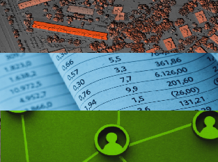
Arora’s GIS & Data Services Group delivers integrated geospatial, data analytics, and digital platform solutions that transform complex information into actionable insight. Our team provides end-to-end geospatial services—from spatial data development and advanced modeling to automation that supports planning, design, operations, and decision-making. We complement these capabilities with robust data engineering, statistical analysis, predictive modeling, and quality assurance to generate reliable insights from both spatial and non-spatial datasets. Through intuitive dashboards, interactive applications, and user-focused digital platforms—including project websites, outreach portals, and survey tools—we make complex information accessible, improve stakeholder communication, and enable faster, smarter decisions across every stage of a project.
Explore our full range of GIS and Data Services by visiting our dedicated page.