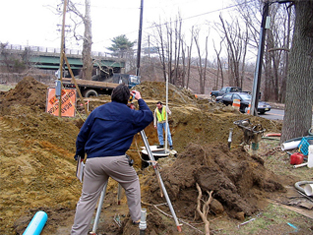


Surveying/ROW/Laser Scanning
Arora and Associates, P.C. (Arora) performs highly accurate, conventional ground surveys and GPS surveys for projects throughout the Mid-Atlantic states. Each year, we perform numerous property and topographic surveys for private projects and transportation projects such as highways, railroads and bridges. Our experience includes deed plotting and analysis, large tract property surveys, topographic surveys, right-of-way surveys and preparation of deed descriptions. Also, Arora has been selected for many on-call survey support contracts for on-call engineering services, subsurface utility engineering, and photogrammetric control for aerial mapping.
Arora's GPS survey teams are well equipped with Trimble dual-frequency GPS receivers. They have provided proven experience on many challenging and extensive GPS assignments for our clients including NJDOT, NJ Transit, NJTPA and many aerial mapping companies.
Our staff includes several professional surveyors with considerable experience in surveying standards and procedures required by state land surveying boards, ACSM (American Congress on Surveying and Mapping), ALTA (American Land Title Association) and NGS (National Geodetic Survey). Arora's survey professionals have comprehensive experience in observations and calculations for the determination of mean high water, tidal benchmarks, and title issues relating to riparian parcels.
Right of Way Mapping Services
Arora has earned a reputation throughout the Mid-Atlantic states for providing quality right-of-way engineering maps. Our extensive experience and knowledge of right-of-way documents spans the last 15 years. Arora has prepared right-of-way documents for a wide variety of engineering projects from small intersection improvements to major bridge replacements over tidal waterways with riparian parcels.
To learn more, go to the Surveying/ROW/Laser Scanning Projects page.