

Project Type: Surveying/ROW/Laser
Hay Creek Bicycle/Walking Trail
Berks County, PA
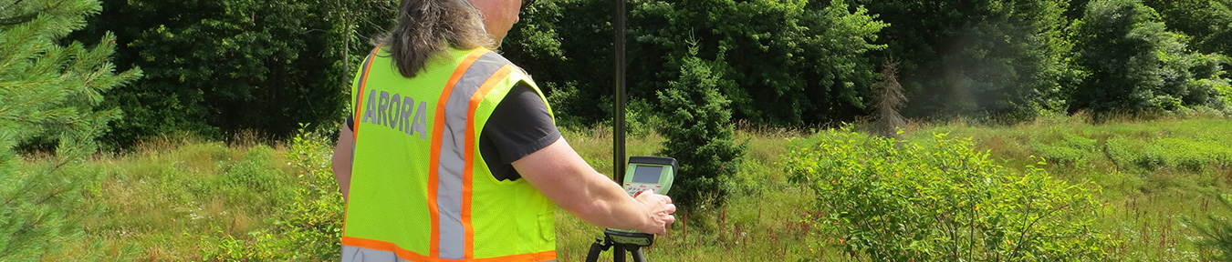
Arora's Survey Department performed topographic surveys, GPS control, ROW mapping and deed mosaics for approximately 10 miles of abandoned railroad bed in Robeson, Union and Caernarvon Townships. The mapping will be used for the design of a trail connecting the Schuylkill River Greenway’s Thun Trail with the Horse-Shoe Trail and French Creek State Park. Arora's scope includes complete investigative environmental studies, preliminary and final right-of-way plans, and the acquisition of the abandoned rail line.