|
Locations
Our Firm
Core Values
Professionals
Locations
Leadership Team
History
Services
Resourceful and Accountable Engineering Solutions
View All Services
Services
Structural and Seismic Design
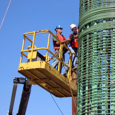
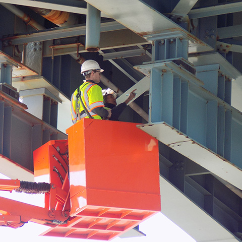
Construction Management and Inspection
Traffic Engineering and Analysis
Safety Studies and Analysis
GIS & Data Services
Surveying/ROW/Laser Scanning
Federal Services
Environmental Compliance/Permitting
Cost Estimating and Scheduling
Stakeholder and Agency Coordination
Bridge Inspection
Projects
Every project is an opportunity for engineering problem-solving and client partnership
View All Projects
Projects
Roads and Highways
Lighting & Electrical Engineering
Environmental Compliance / Permitting
Hydrologic / Hydraulic Engineering
Construction Management and Inspection
Media
Careers
Job Listings
Benefits
Company Culture
Diversity & Inclusion
Contact Us
Home
Services
All Services
Click Here